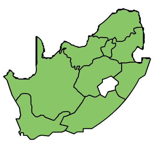
File:Country map-South Africa.png
From eRepublik Official Wiki
Country_map-South_Africa.png (497 × 457 pixels, file size: 21 KB, MIME type: image/png)
File history
Click on a date/time to view the file as it appeared at that time.
| Date/Time | Thumbnail | Dimensions | User | Comment | |
|---|---|---|---|---|---|
| current | 02:17, 29 January 2013 |  | 497 × 457 (21 KB) | Mikhail Alexander (Talk | contribs) | Reverted to version as of 23:16, 12 February 2011 |
| 04:38, 5 July 2011 |  | 497 × 457 (18 KB) | Mikhail Alexander (Talk | contribs) | Updated version | |
| 05:57, 17 May 2011 |  | 497 × 457 (25 KB) | Al Kazar (Talk | contribs) | Updated regions | |
| 04:37, 16 February 2011 |  | 497 × 457 (19 KB) | Mikhail Alexander (Talk | contribs) | Added flag. | |
| 08:27, 13 February 2011 |  | 497 × 457 (15 KB) | Zamrg (Talk | contribs) | changed colour of occupied regions | |
| 16:19, 12 February 2011 |  | 497 × 457 (16 KB) | Mikhail Alexander (Talk | contribs) | ||
| 16:16, 12 February 2011 |  | 497 × 457 (21 KB) | Mikhail Alexander (Talk | contribs) |
- You cannot overwrite this file.
File usage
The following 5 pages link to this file:
