File:Country map-Ukraine.jpg
From eRepublik Official Wiki

Size of this preview: 800 × 466 pixels. Other resolutions: 320 × 186 pixels | 1,344 × 783 pixels.
Original file (1,344 × 783 pixels, file size: 61 KB, MIME type: image/jpeg)
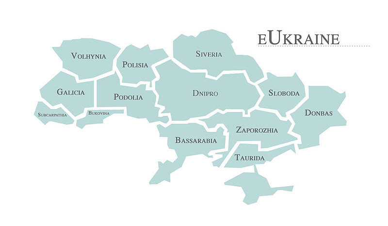
Map of Ukraine as of 2009-05-15. Blue regions are currently held by Ukraine; gray regions are under foreign control.
File history
Click on a date/time to view the file as it appeared at that time.
| Date/Time | Thumbnail | Dimensions | User | Comment | |
|---|---|---|---|---|---|
| current | 02:48, 6 October 2009 | | 1,344 × 783 (61 KB) | Tikhenko (Talk | contribs) | New Ukrainian map! |
| 14:20, 22 June 2009 |  | 1,344 × 783 (104 KB) | Irov (Talk | contribs) | Updated 2009-06-13 | |
| 08:16, 26 May 2009 |  | 1,344 × 783 (69 KB) | Irov (Talk | contribs) | Update as of 2009-05-26 | |
| 22:39, 15 May 2009 |  | 1,344 × 783 (66 KB) | Irov (Talk | contribs) | Map of Ukraine as of 2009-05-15. Blue regions are currently held by Ukraine; gray regions are under foreign control. |
- You cannot overwrite this file.
File usage
The following 6 pages link to this file: