File:1024px-BlankMap-USA-states-Canada-provinces, HI closer.svg.png
From eRepublik Official Wiki
Size of this preview: 600 × 600 pixels. Other resolutions: 240 × 240 pixels | 1,024 × 1,024 pixels.
Original file (1,024 × 1,024 pixels, file size: 168 KB, MIME type: image/png)
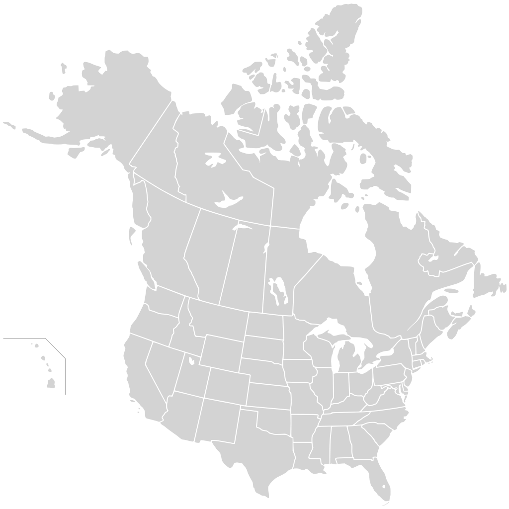
A map of the United States and Canada outlining their respective states and provinces.
File history
Click on a date/time to view the file as it appeared at that time.
| Date/Time | Thumbnail | Dimensions | User | Comment | |
|---|---|---|---|---|---|
| current | 18:32, 12 June 2011 | | 1,024 × 1,024 (168 KB) | VSkyzv (Talk | contribs) | A map of the United States and Canada outlining their respective states and provinces. http://commons.wikimedia.org/wiki/File:BlankMap-USA-states-Canada-provinces,_HI_closer.svg Original File |
- You cannot overwrite this file.
File usage
The following page links to this file: