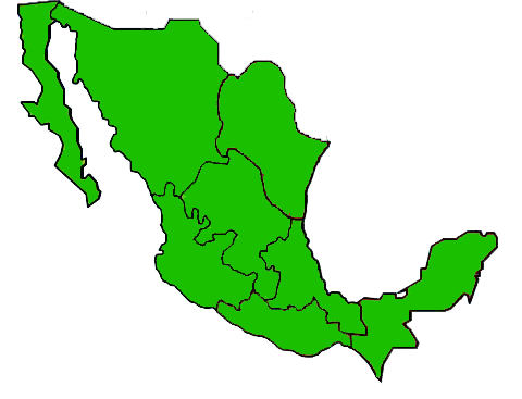
File:Country map-Mexico.png
From eRepublik Official Wiki
Country_map-Mexico.png (480 × 367 pixels, file size: 45 KB, MIME type: image/png)
File history
Click on a date/time to view the file as it appeared at that time.
| Date/Time | Thumbnail | Dimensions | User | Comment | |
|---|---|---|---|---|---|
| current | 23:57, 26 May 2011 |  | 480 × 367 (45 KB) | Citizen 6 (Talk | contribs) | Map showing all original regions regardless of changes. Category: Country Maps |
| 19:38, 18 October 2010 |  | 719 × 574 (52 KB) | Tim Veltkamp (Talk | contribs) | ||
| 08:17, 14 July 2010 |  | 554 × 436 (43 KB) | Lunime (Talk | contribs) | Changed to red to show population density and to clearly show the regions that mexico control. (07/2010) | |
| 21:10, 8 July 2010 |  | 246 × 203 (14 KB) | Mikhail Alexander (Talk | contribs) |
- You cannot overwrite this file.
File usage
The following 3 pages link to this file:
