File:Country map-Kosovo.png
From eRepublik Official Wiki
Size of this preview: 515 × 599 pixels. Other resolutions: 206 × 240 pixels | 665 × 774 pixels.
Original file (665 × 774 pixels, file size: 31 KB, MIME type: image/png)
Map of Kosovo / At the moment unoffical as this is used only in the usernamespace!
File history
Click on a date/time to view the file as it appeared at that time.
| Date/Time | Thumbnail | Dimensions | User | Comment | |
|---|---|---|---|---|---|
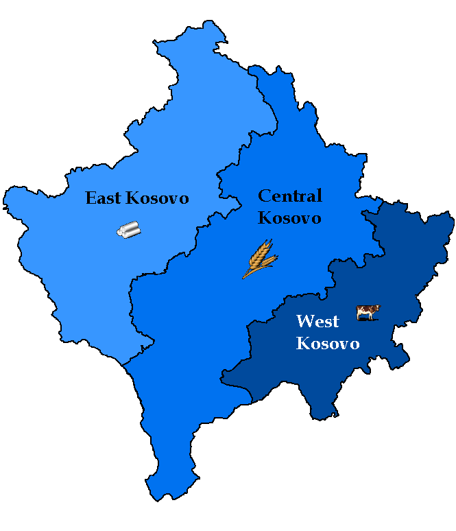
| current | 02:50, 13 October 2011 | | 665 × 774 (31 KB) | SocialPariah (Talk | contribs) | Sealed and Approved by the Albanian Ministry of Defence and the Kosovan leadership. |
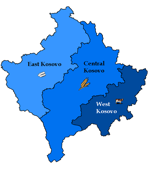
| 02:24, 13 October 2011 | 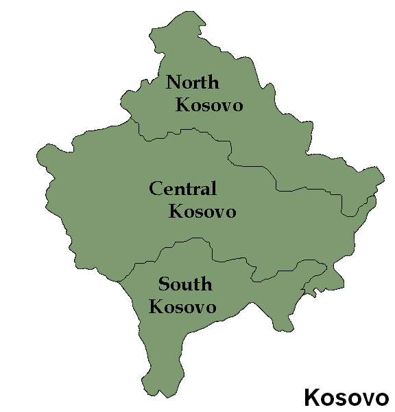 | 576 × 600 (27 KB) | SocialPariah (Talk | contribs) | Approved regions by the Albanian government | |
| 08:44, 12 October 2011 | 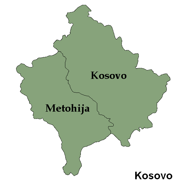 | 576 × 600 (26 KB) | SocialPariah (Talk | contribs) | The realistic regions | |
| 11:29, 18 April 2011 | 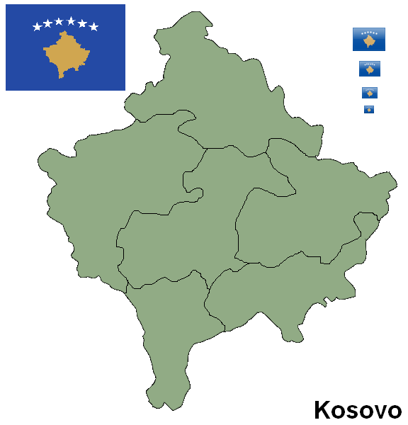 | 576 × 600 (32 KB) | Emorfion (Talk | contribs) | ||
| 07:59, 2 March 2011 | 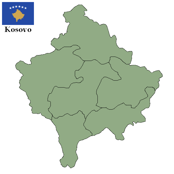 | 600 × 600 (30 KB) | Emorfion (Talk | contribs) | Map of Kosovo |
- You cannot overwrite this file.
File usage
The following page links to this file: